Living in a beautiful area surrounded by trails, parks and playgrounds offers countless benefits for your family’s health and well-being. Easy access to green spaces encourages outdoor activity, making it easier to enjoy fresh air, get exercise, and connect with nature. Whether you’re walking, biking, or playing, being outside together helps reduce stress, boost moods, and improve physical fitness for all ages.
For children, parks and playgrounds are more than just fun—they support healthy development, encourage social skills, and provide a safe space to build strength and coordination. For adults, spending time outdoors can improve mental health, strengthen family bonds, and create lasting memories.
Make the most of where you live—step outside, explore your community, and enjoy the many physical, mental, and emotional benefits of outdoor play and exercise.
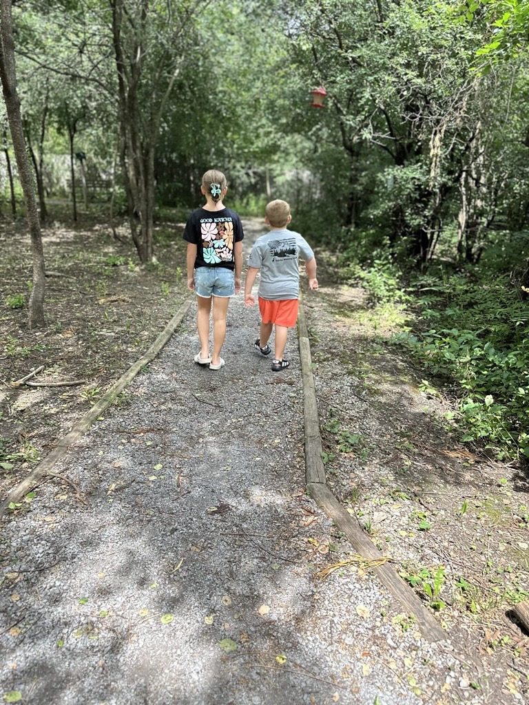
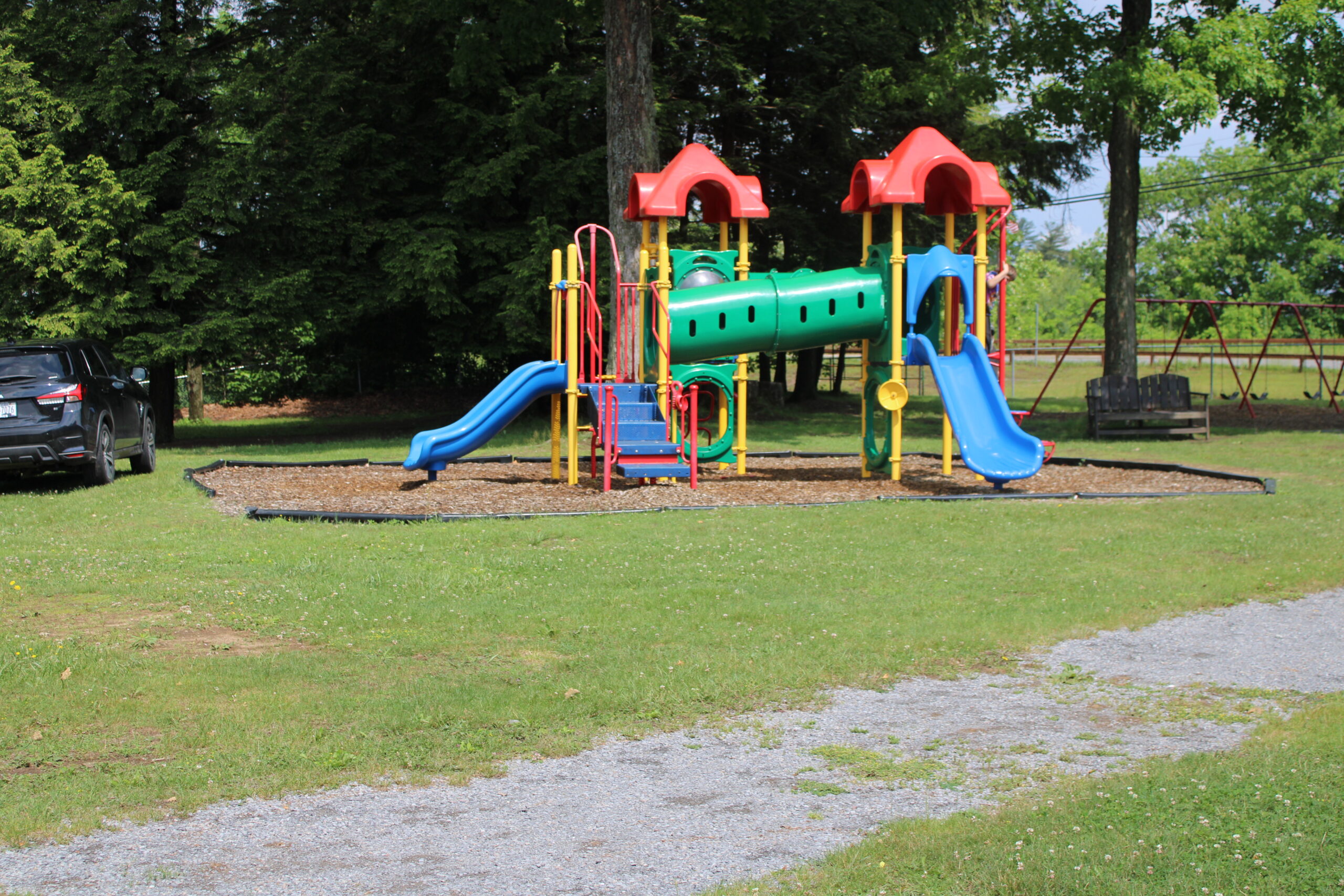
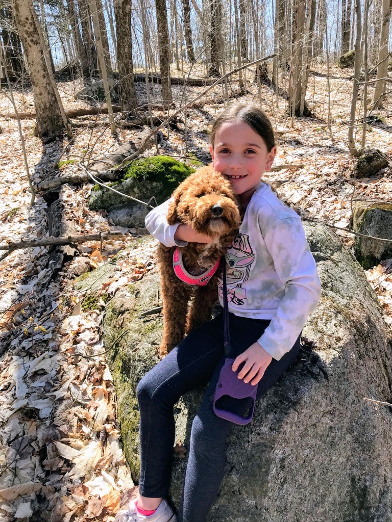
Lewis County Parks/Playgrounds
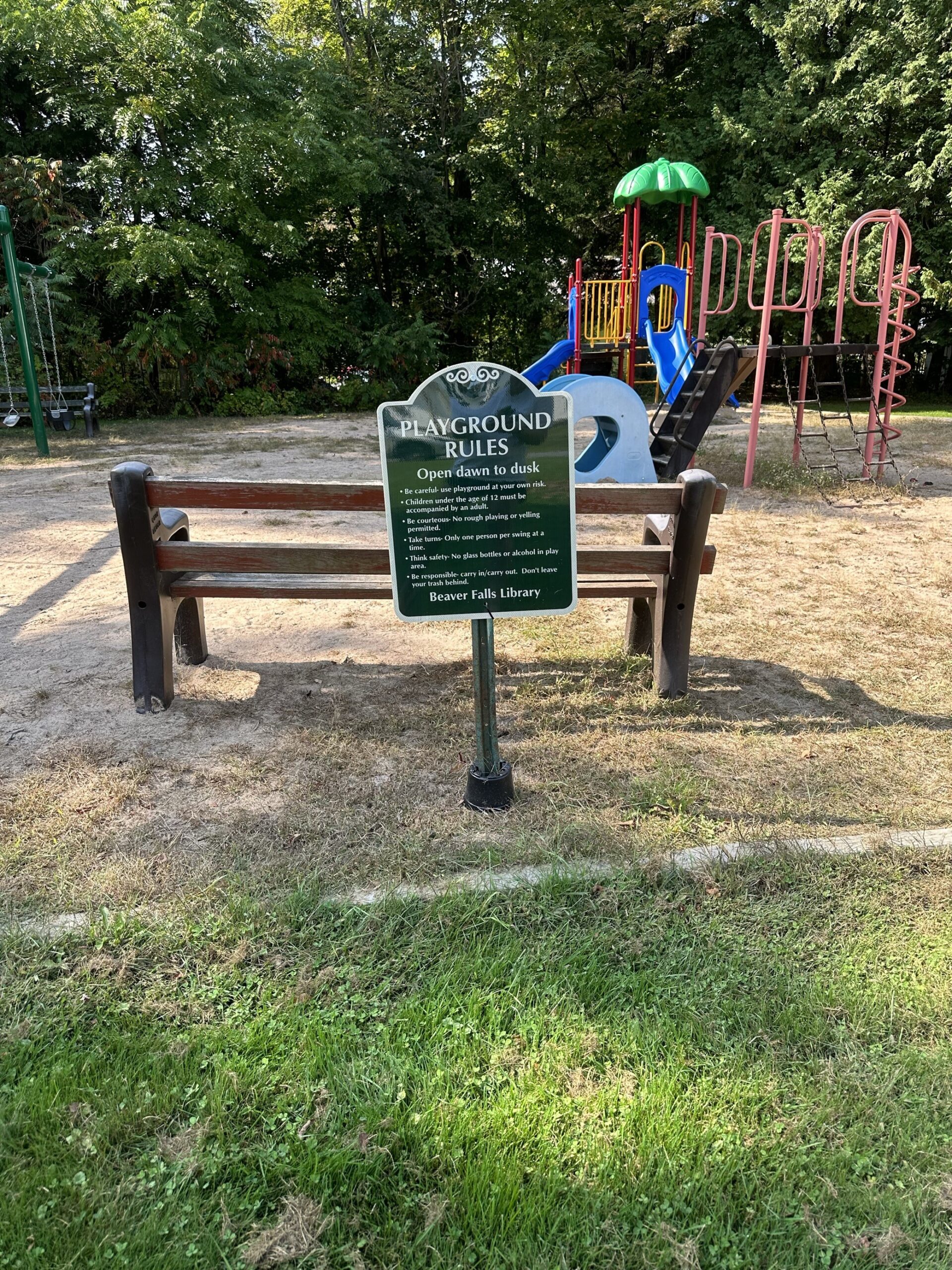
Beaver Falls Library
Ager’s Falls
Located on the Moose River this area has been recognized by generations of visitors for its natural beauty. There is a picnic area, a boat launch, and the 1-mile Moose River Trail.
The Falls are named after the Ager family who built and operated a paper mill and a sawmill at this location in the late 1800s. The historic ruins of the Ager family buildings are open to be visited at the park.
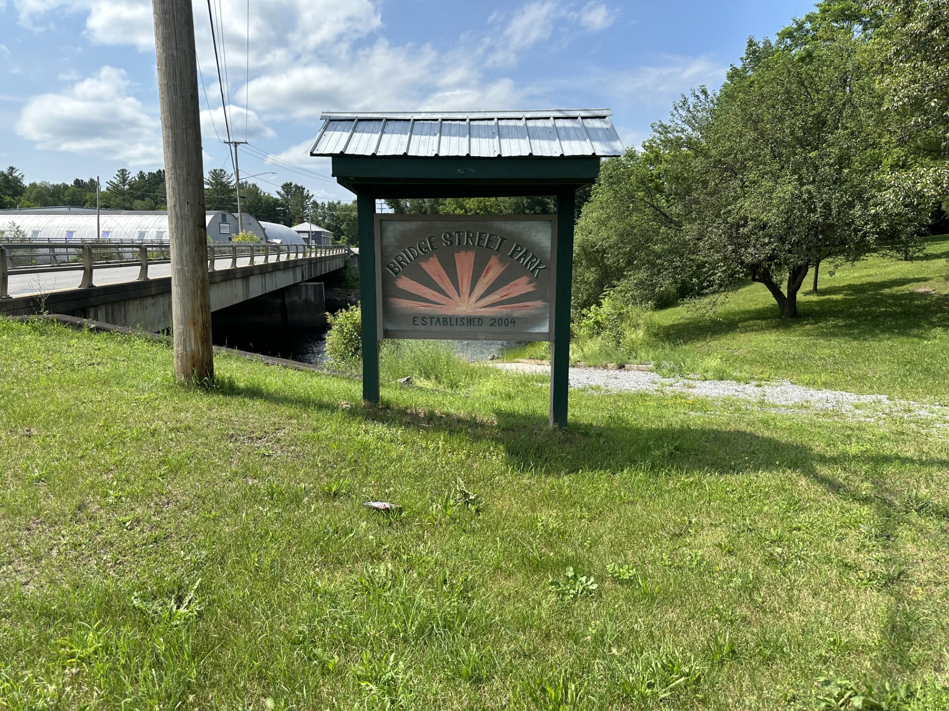
Bridge Street Park
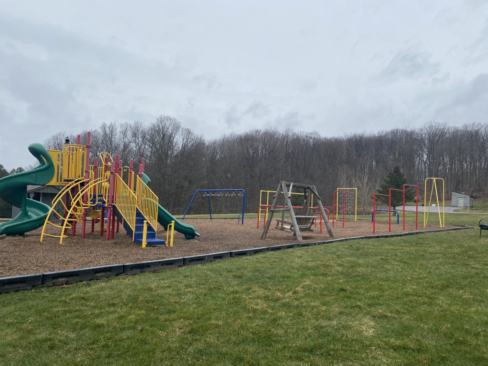
Castorland Community Park
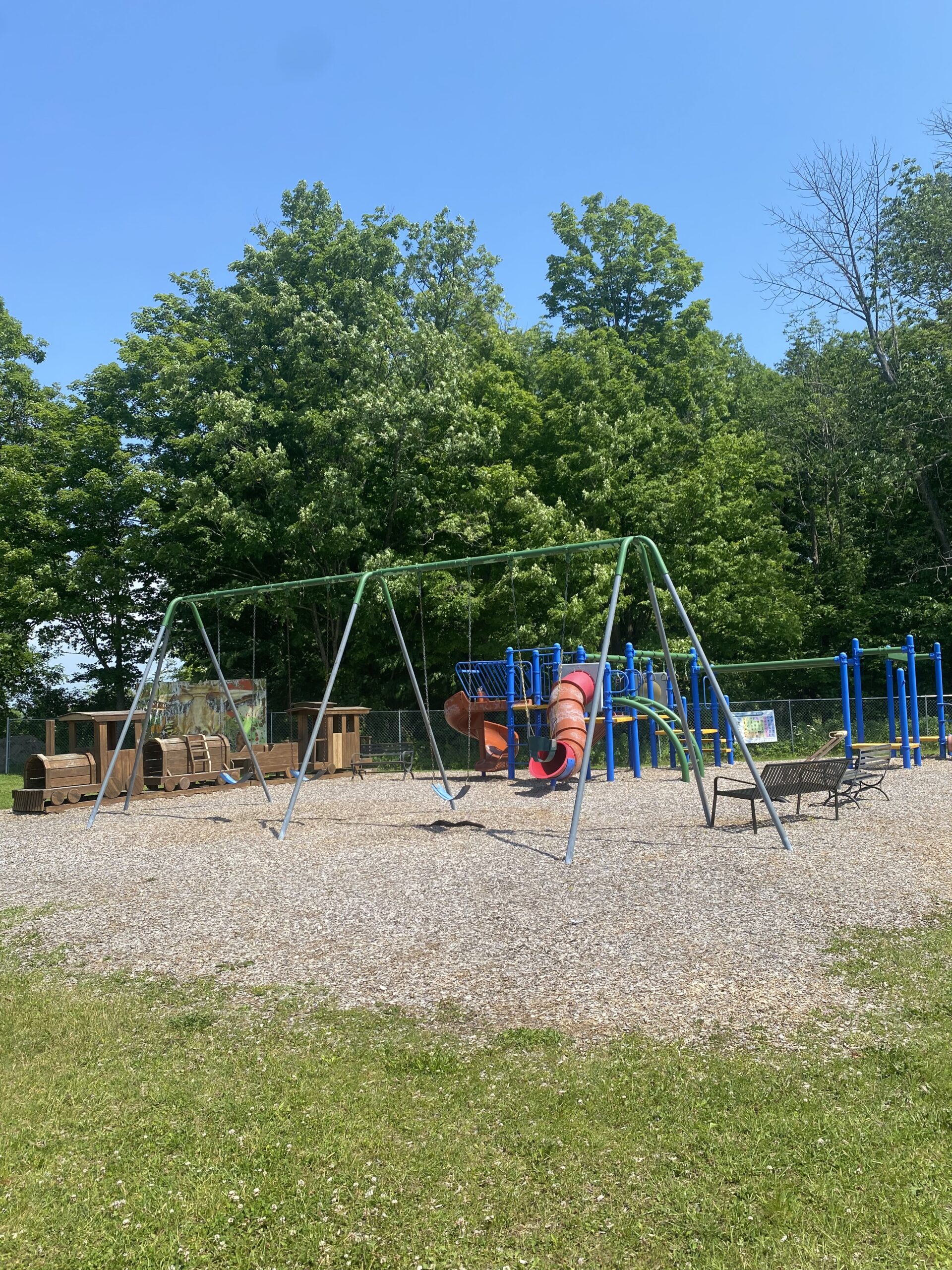
Constableville Recreation Center
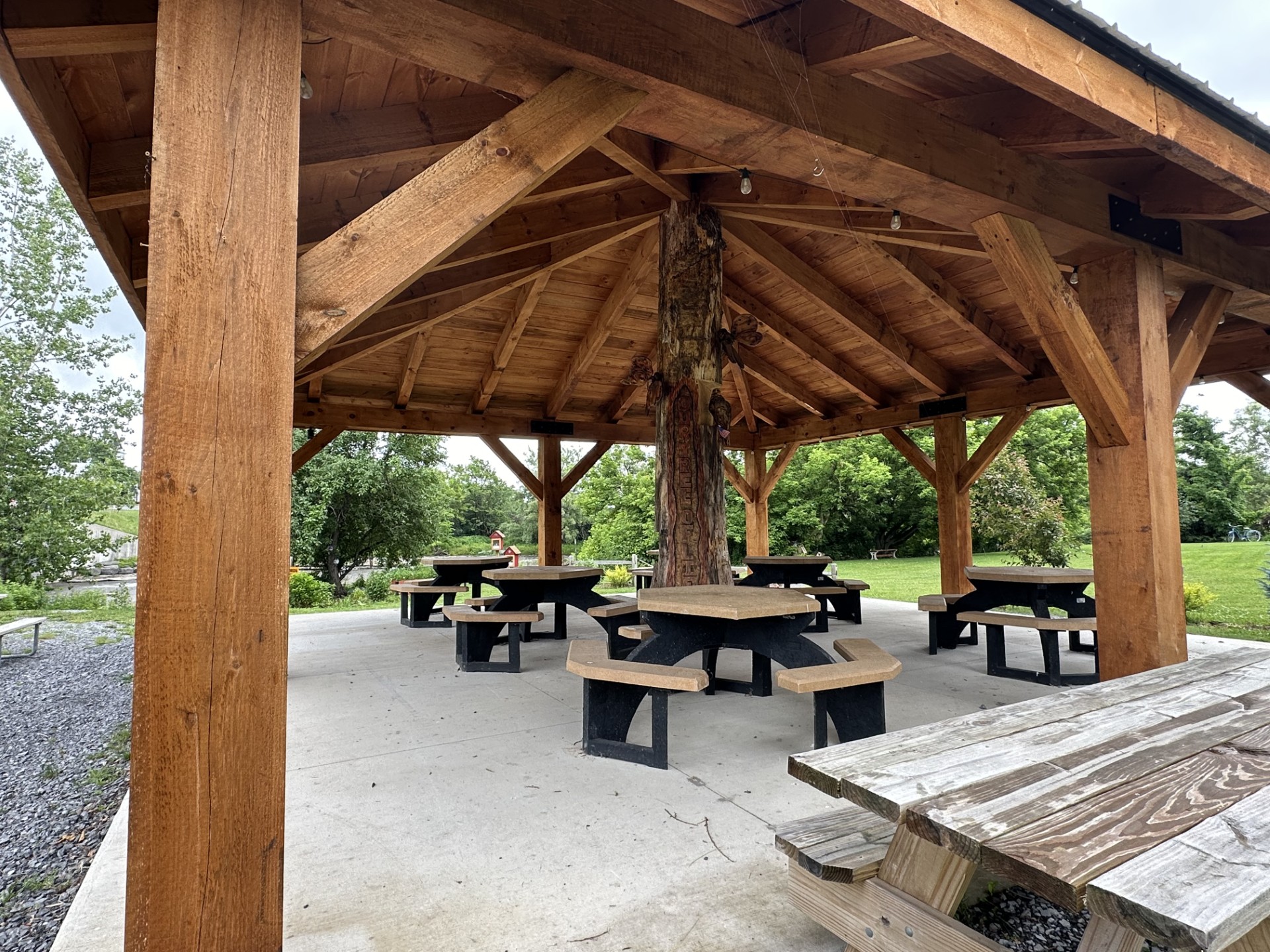
Copenhagen Memorial Park
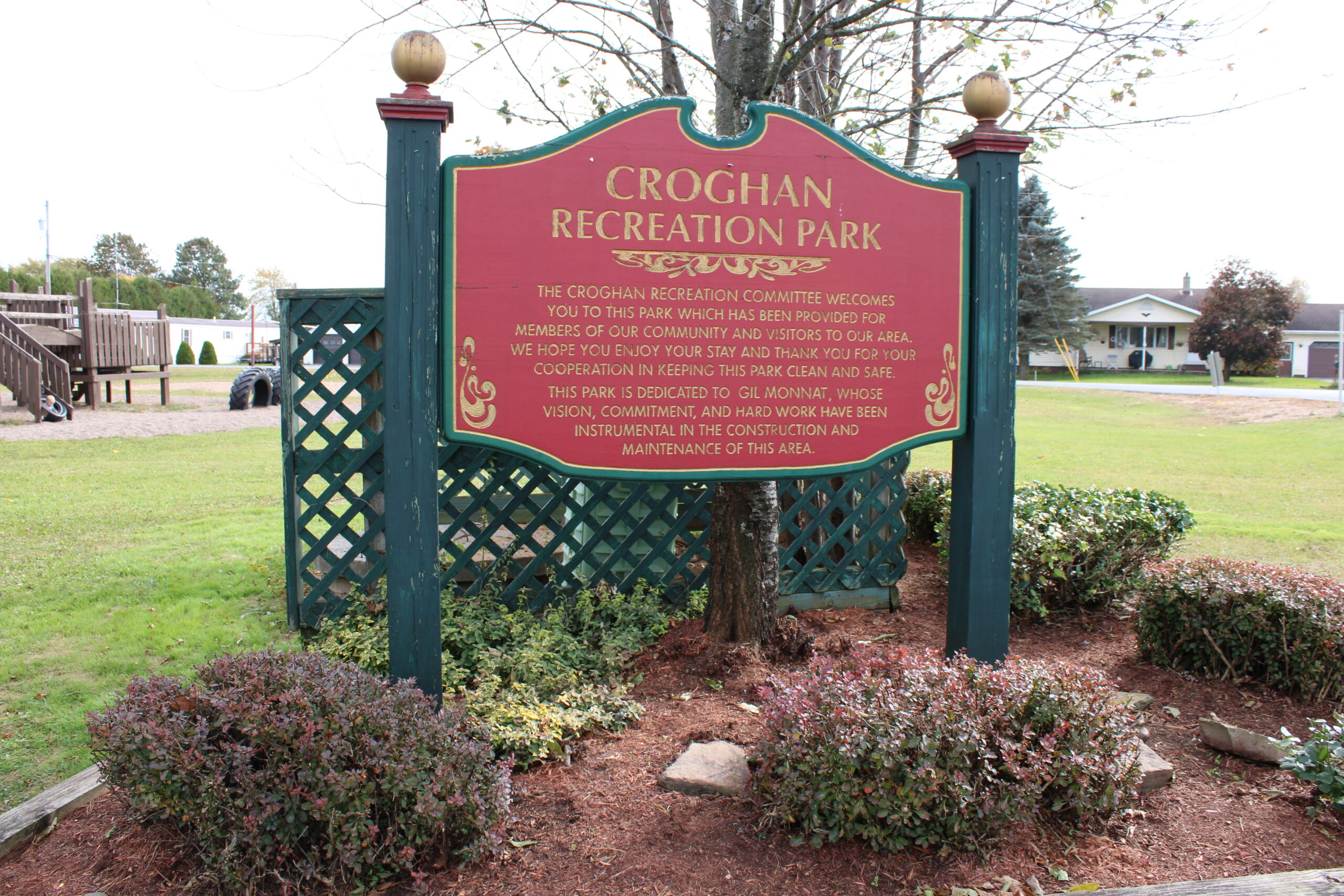
Croghan Recreation Park
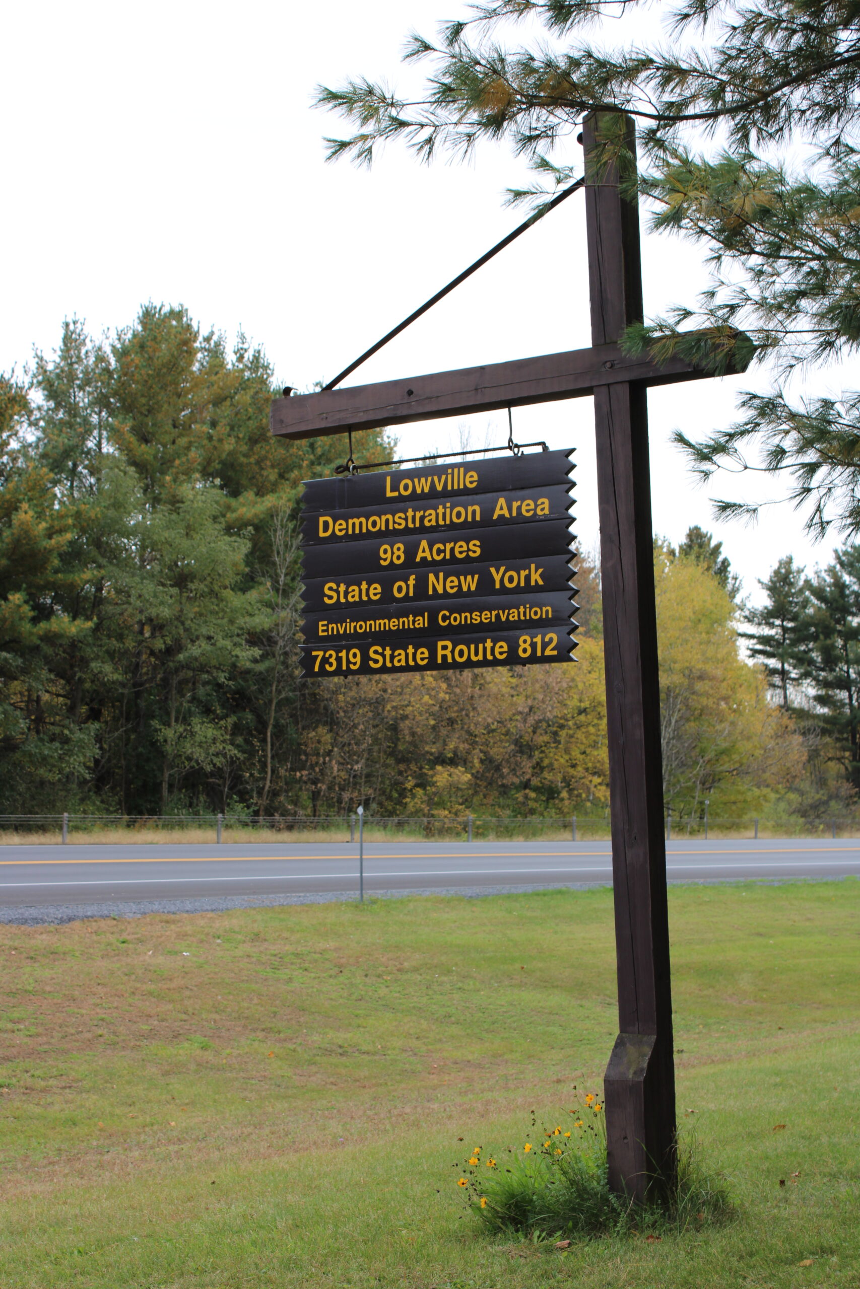
DEC, Dadville
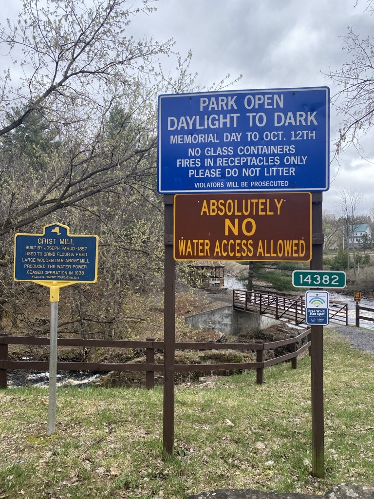
Grand View Park
Lewis County Fairgrounds
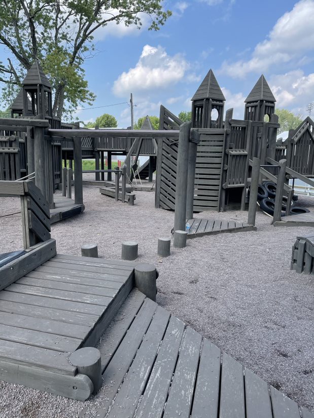
Lowville Village Park
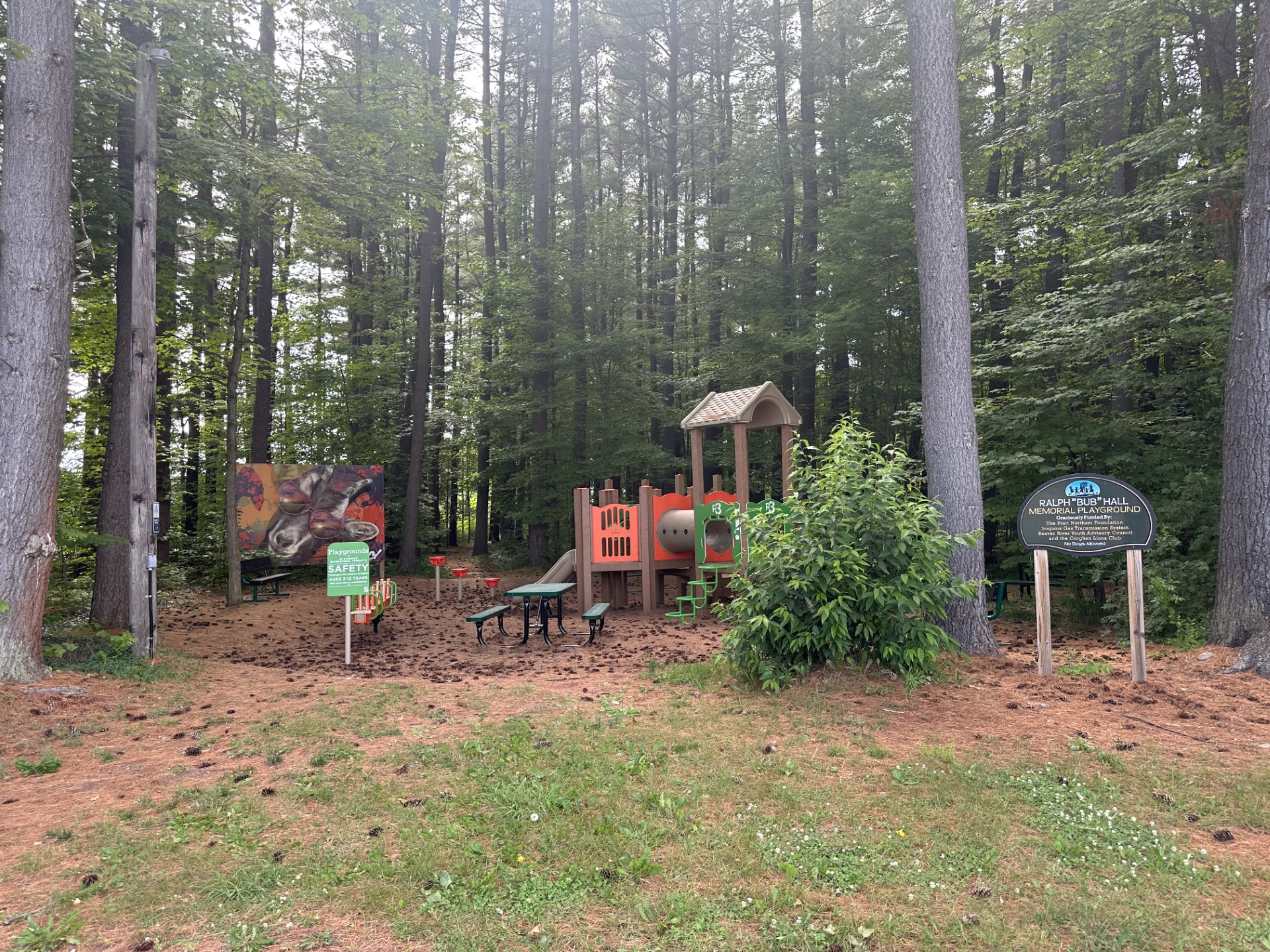
New Bremen Park
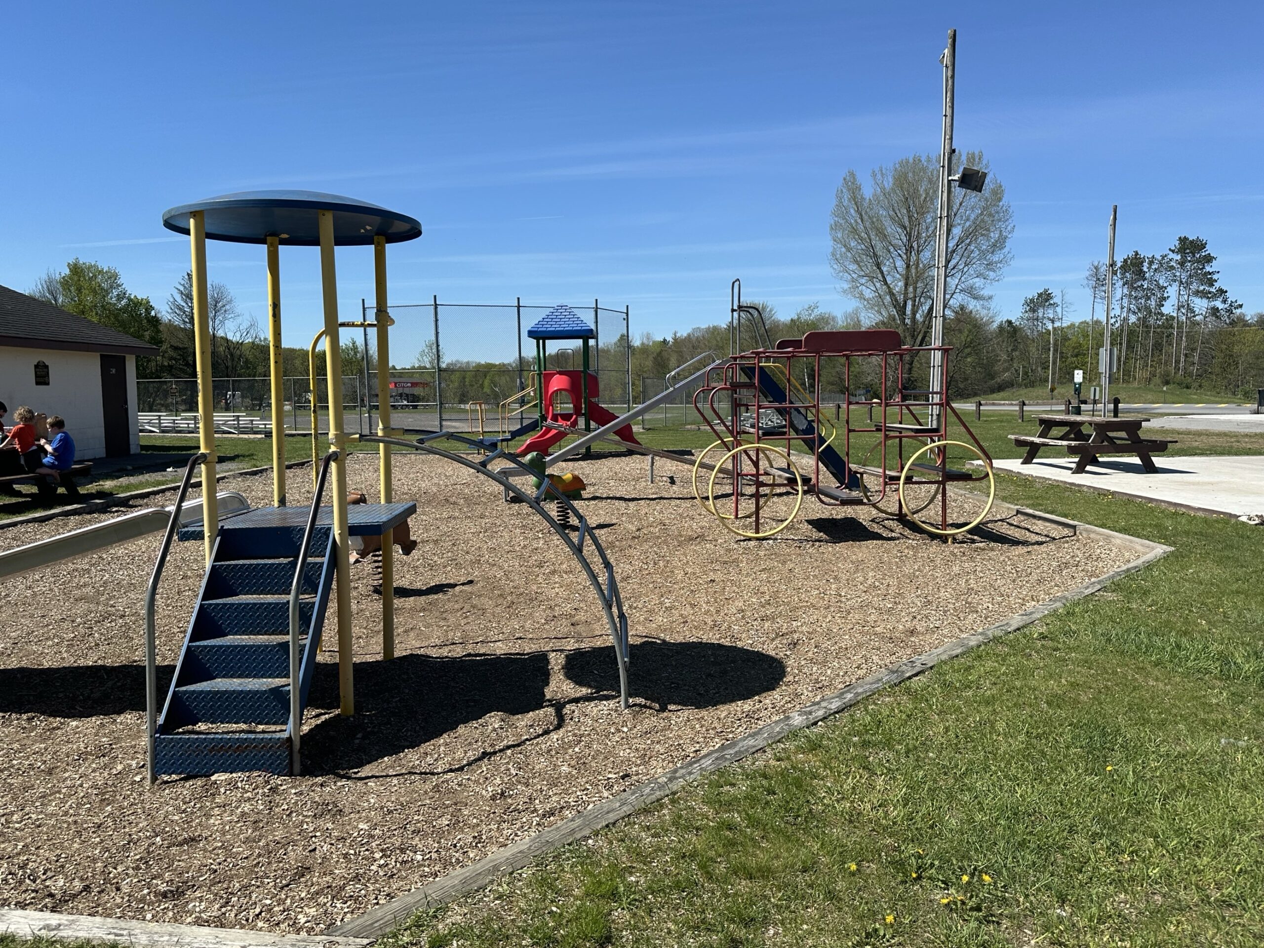
Port Leyden Community Park
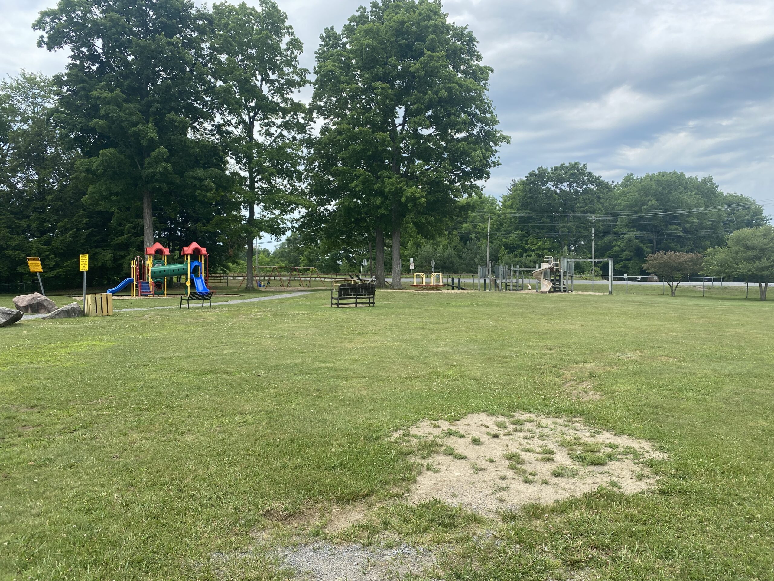
Riverside Park
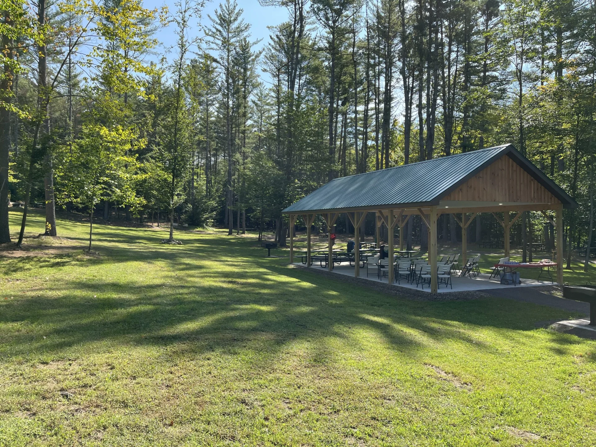
Singing Waters Park
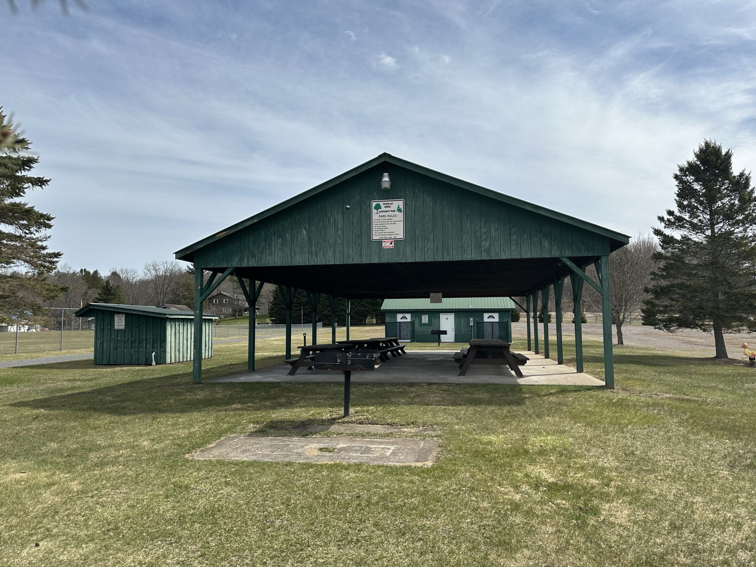
Town of Grieg Park
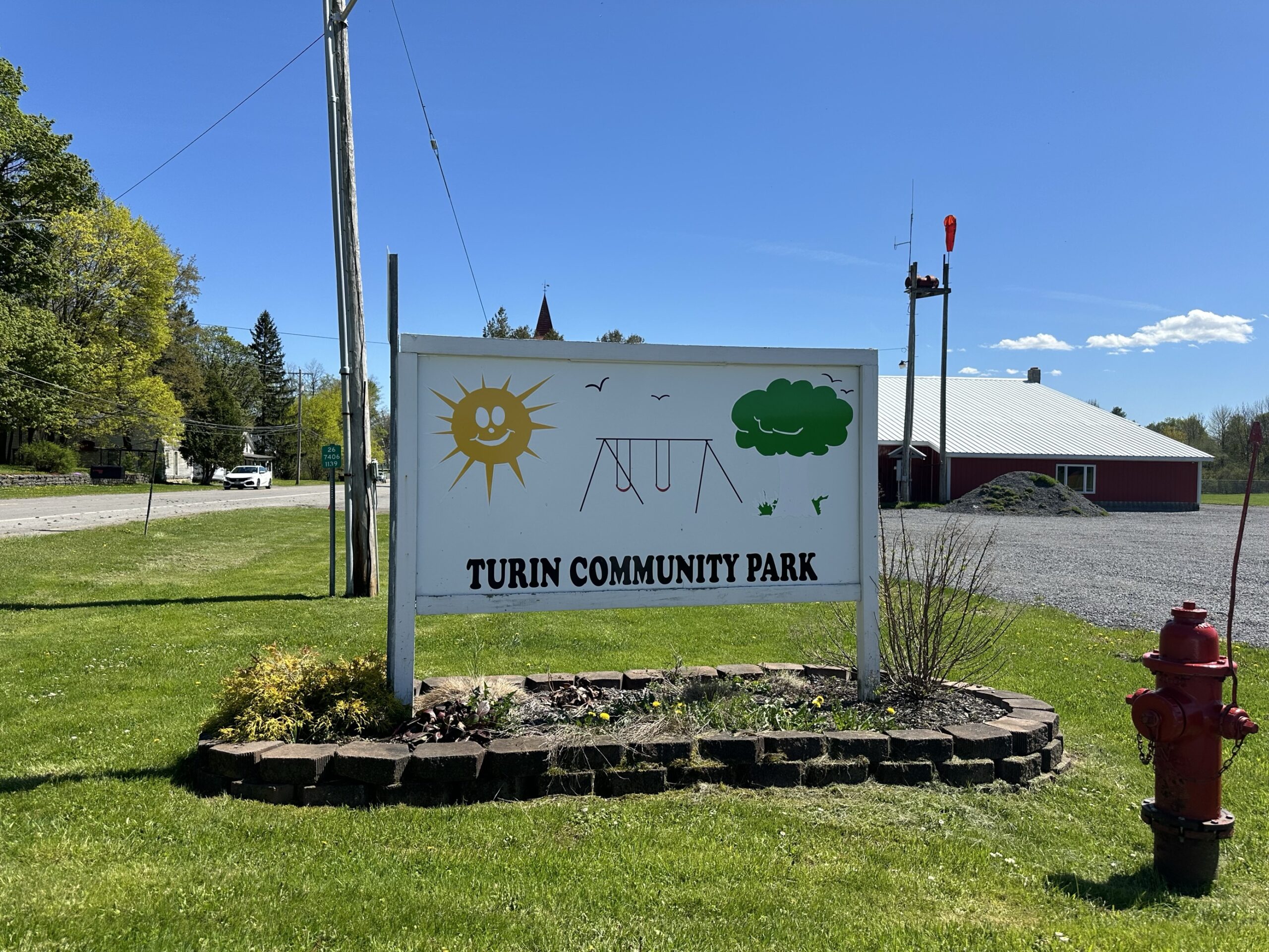
Turin Community Park
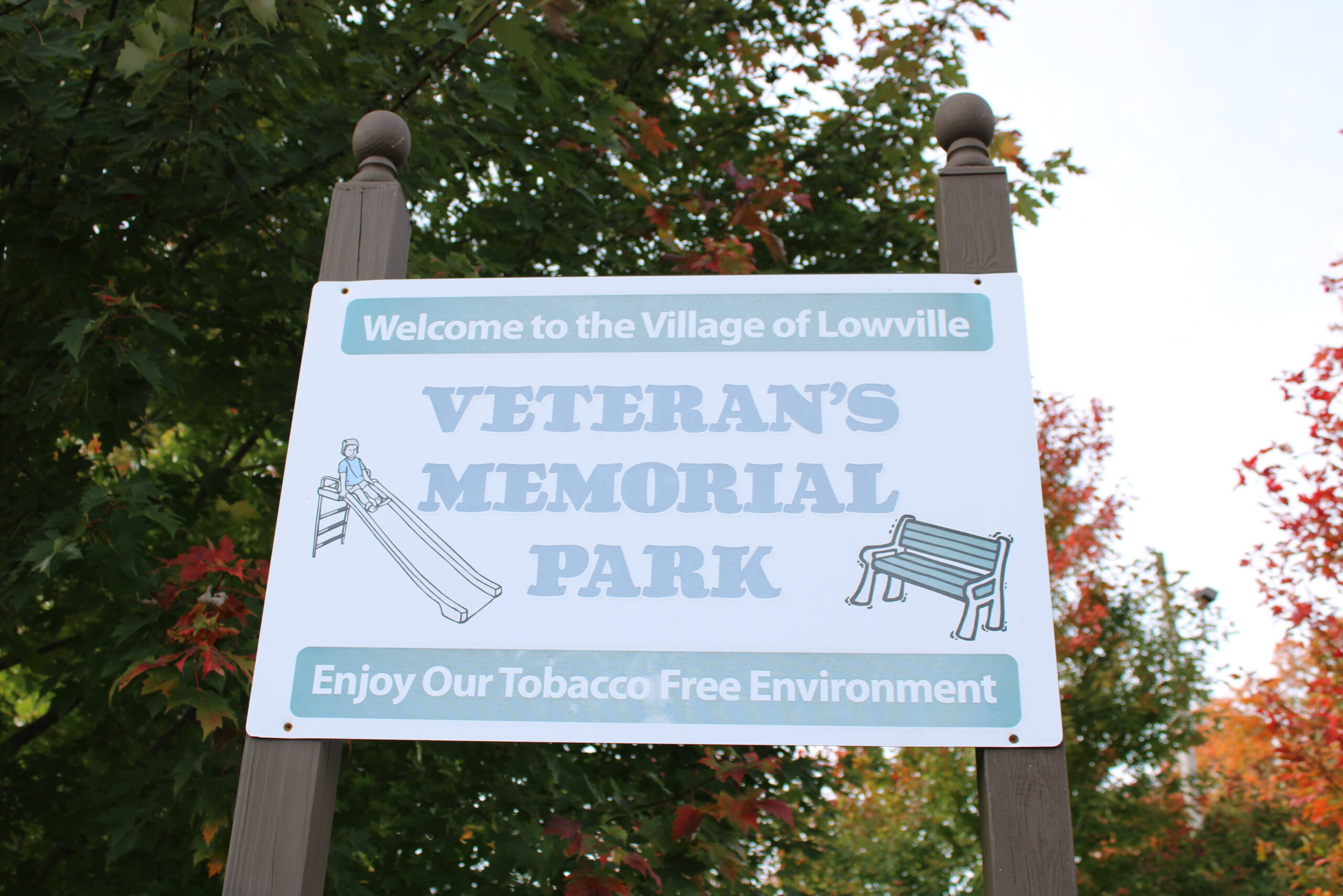
Veteran’s Memorial Park
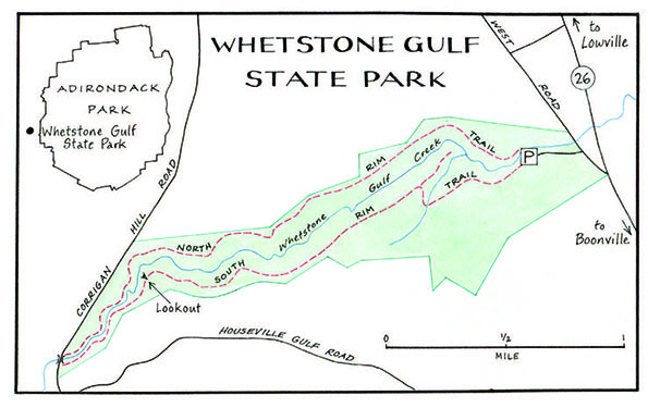
Whetstone Gulf State Park
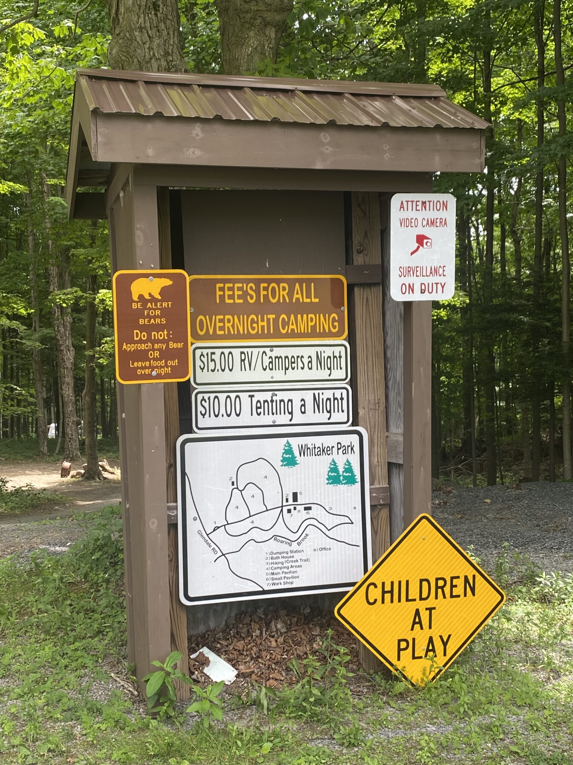
Whitaker Park
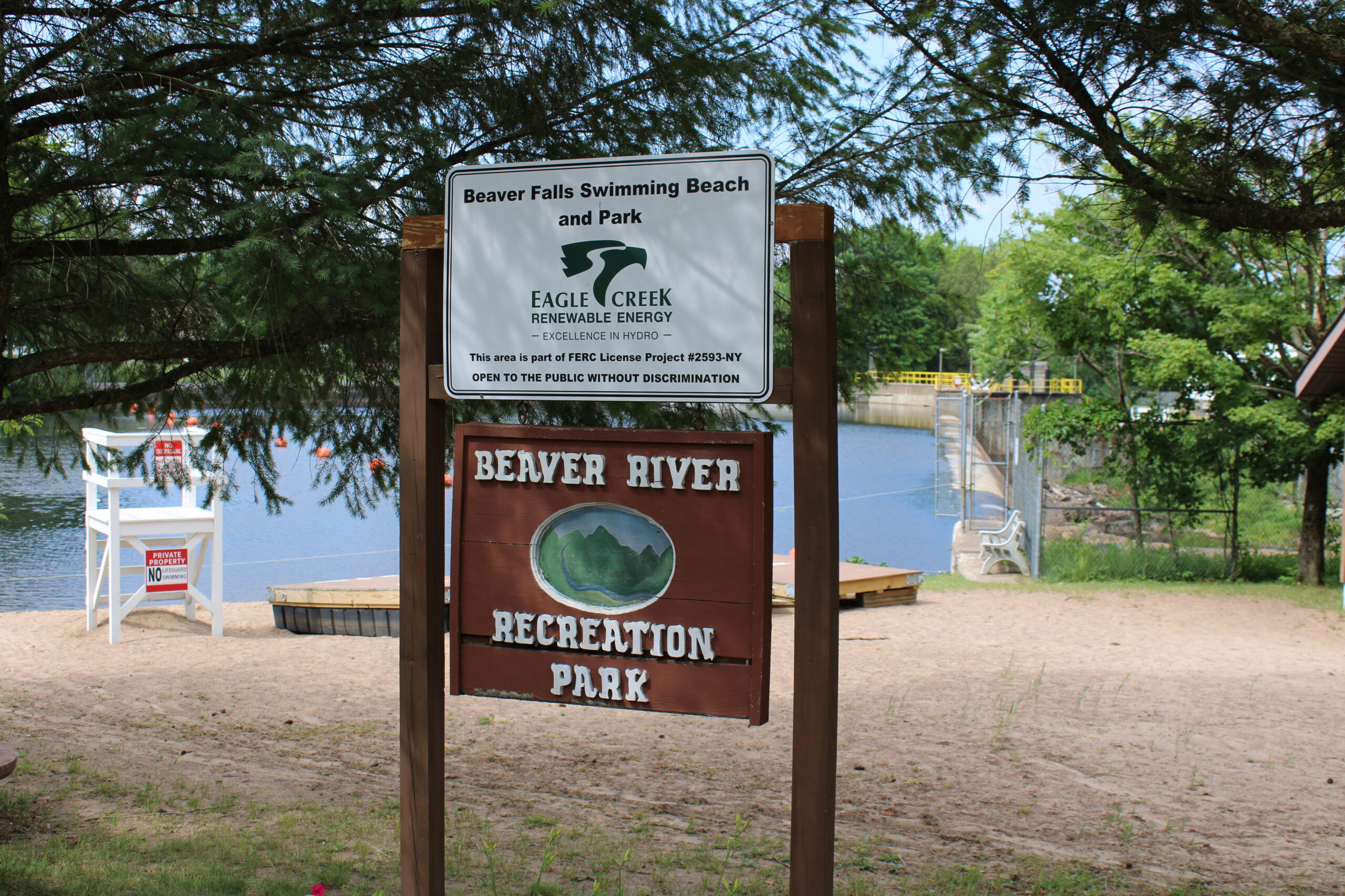
Beaver Falls Beach/Recreation Area
Lewis County Trails
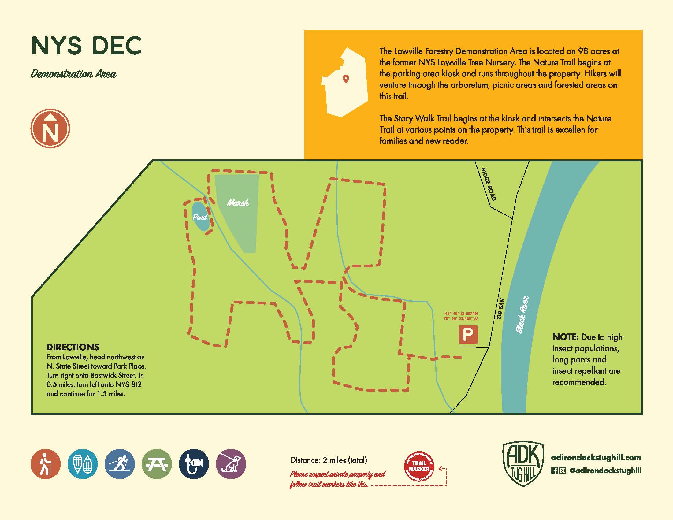
NYS DEC Demonstration Area
The Lowville Forestry Demonstration Area is located on 98 acres at the former NYS Lowville Tree Nursery. The Nature Trail begins at the parking area kiosk and runs throughout the property. Hikers will venture through the arboretum, picnic areas and forested areas on this trail.
There is a Story Walk Trail that begins at the kiosk and intersects the Nature Trail at various points on the property. This trail is excellent for families and new readers.
Directions: From Lowville, head northwest on N. State Street toward Park Place. Turn right onto Bostwick Street. In 0.5 miles, turn left onto NYS 812 and continue for 1.5 miles.
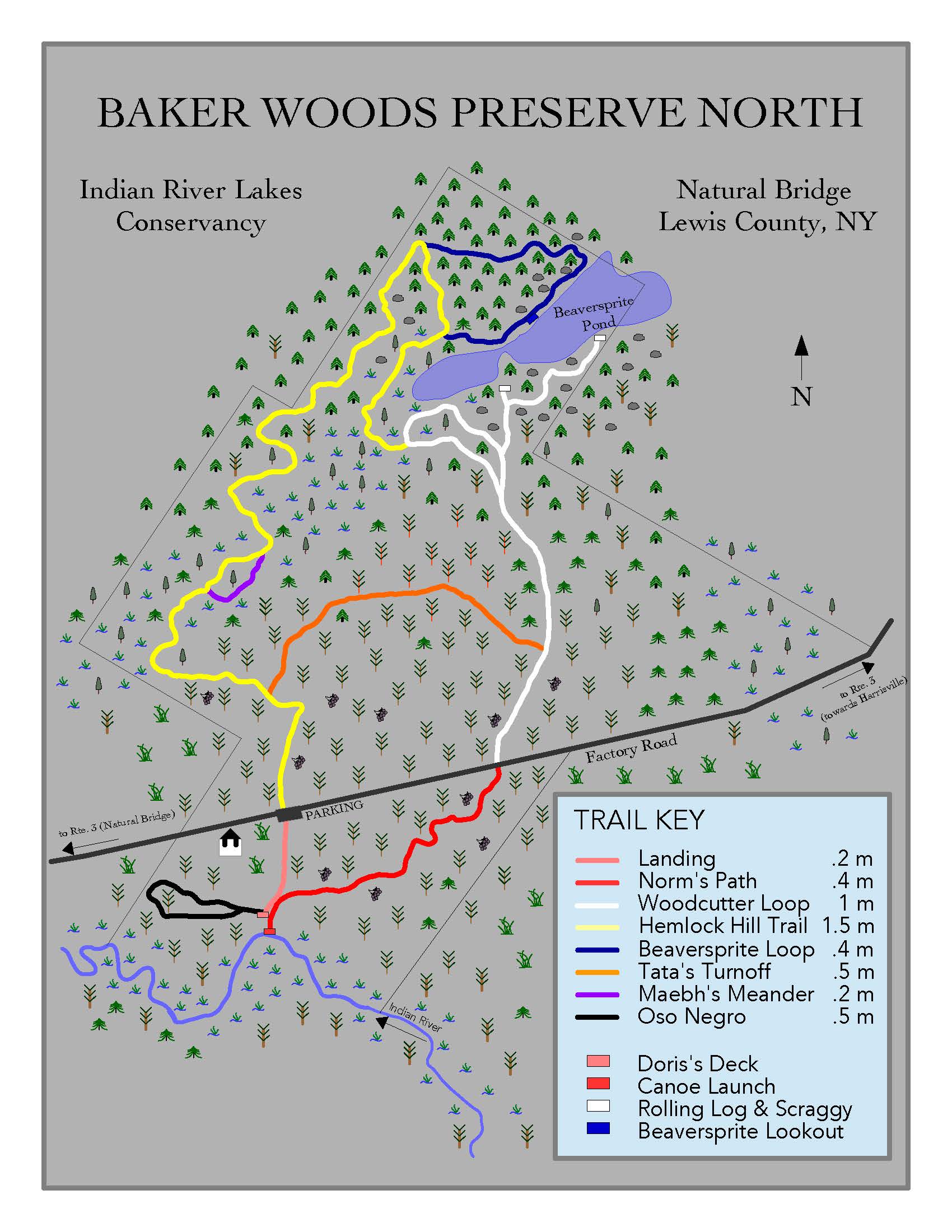
Baker Woods Preserve
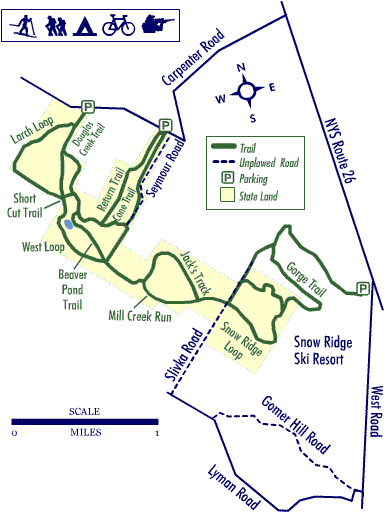
Carpenter Road Recreational Trails
Directions/Location/Trail Map: Carpenter Road, no address usable. Take County Route 26 from Lowville southward and watch for the Carpenter Road on the right, if you get to Snow Ridge Ski Area you have went too far. Past a very sharp left-hand turn in the Carpenter Road go up the hill a distance until you leave the paved road for gravel, watch for parking access on the left. There is a kiosk a short distance up the trail from the parking lot. Watch for ATV’s during warmer times of the year as they are prevalent on this gravel road.
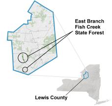
East Branch of Fish Creek Access Trail
This property is most accessible by motor vehicle from the Michigan Mills Road, a town road in the town of West Turin. Motor vehicles can be driven into the property nearly to the bridge over the East Branch of Fish Creek. The road will be signed as open to public motor vehicle use to a turnaround and parking area just short of the bridge.
The East Branch Fish Creek trail in the northern portion and Heron Brook Foot Trail in the southern portion offer 3.5 miles of hiking trails. Visitors may also hike along the unpaved forest access roads that traverse the property.
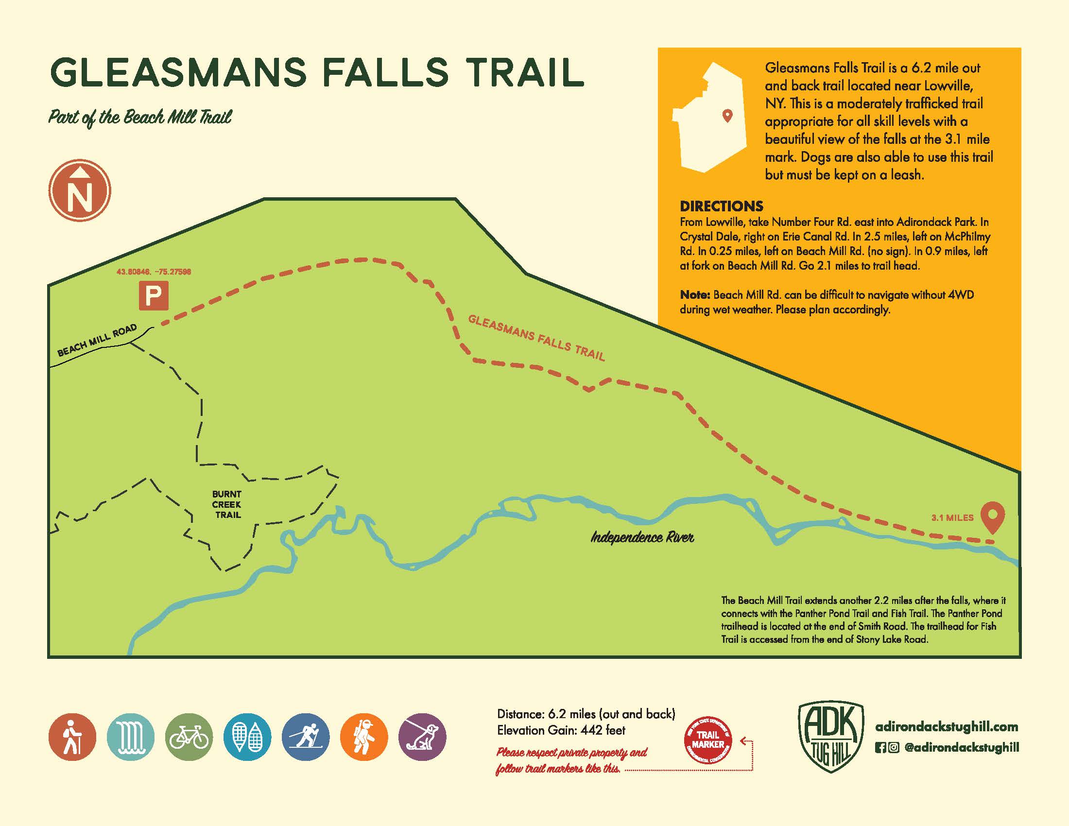
Gleasmans Falls Trail
Directions: From Lowville, take Number Four Rd. east into the Adirondack Park. In Crystal Dale, right on Erie Canal Rd. In 2.5 miles, left on McPhilmy Rd. In 0.25 miles, left on Beach Mill Rd. (no sign). In 0.9 miles, left at fork on Beach Mill Rd. Go 2.1 miles to trail head.
Gleasmans Falls Trail is a 6.2 mile out and back trail located near Lowville, NY. This is a moderately trafficked trail appropriate for all skill levels with a beautiful view of the falls at the 3.1 mile mark. Dogs are also able to use this trail but must be kept on a leash.
Note: Beach Mill Rd can be difficult to navigate without 4WD during wet weather. Please plan accordingly.
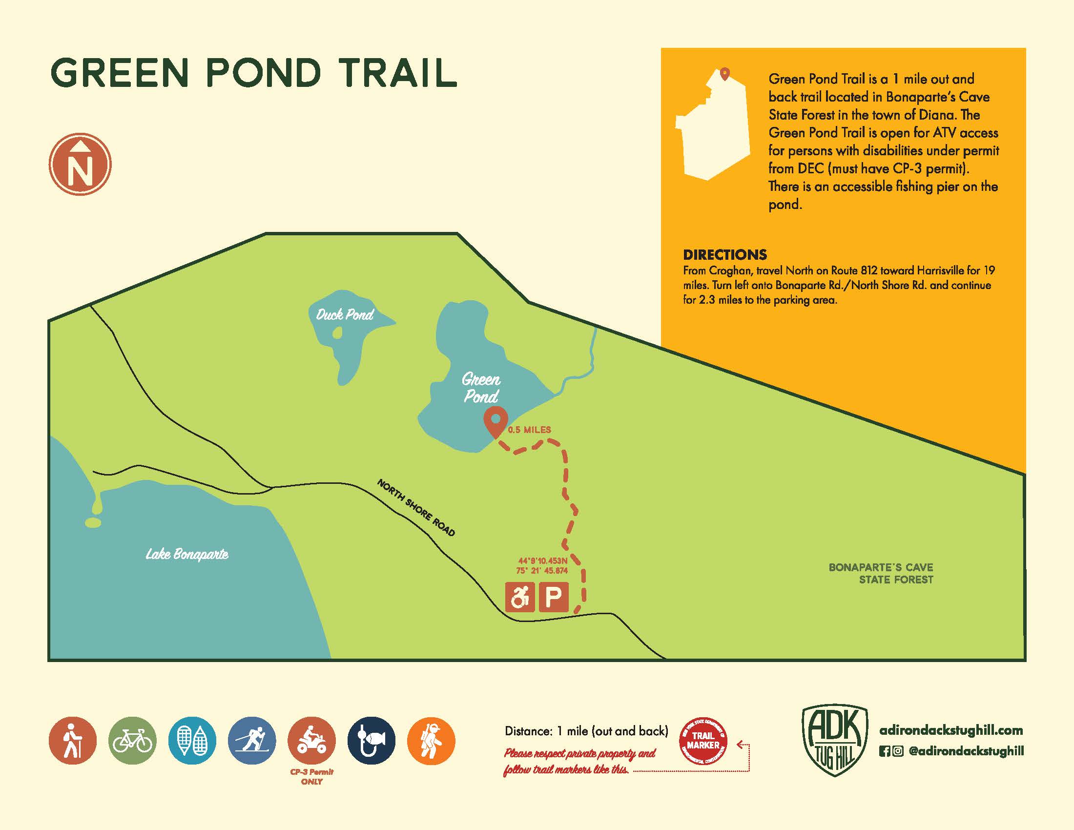
Green Pond Trail
Directions: From Croghan, travel north on Route 812 toward Harrisville for 19 miles. Turn left onto Bonaparte Rd./North Shore Rd. and continue for 2.3 miles to the parking area.
Green Pond Trail is a 1 mile out and back trail located in Bonaparte’s Cave State Forest in the town of Diana. The Green Pond Trail is open for ATV access for people with disabilities under permit from DEC (must have CP-3 permit). There is an accessible fishing pier on the pond.
Harlequin Rock Trail
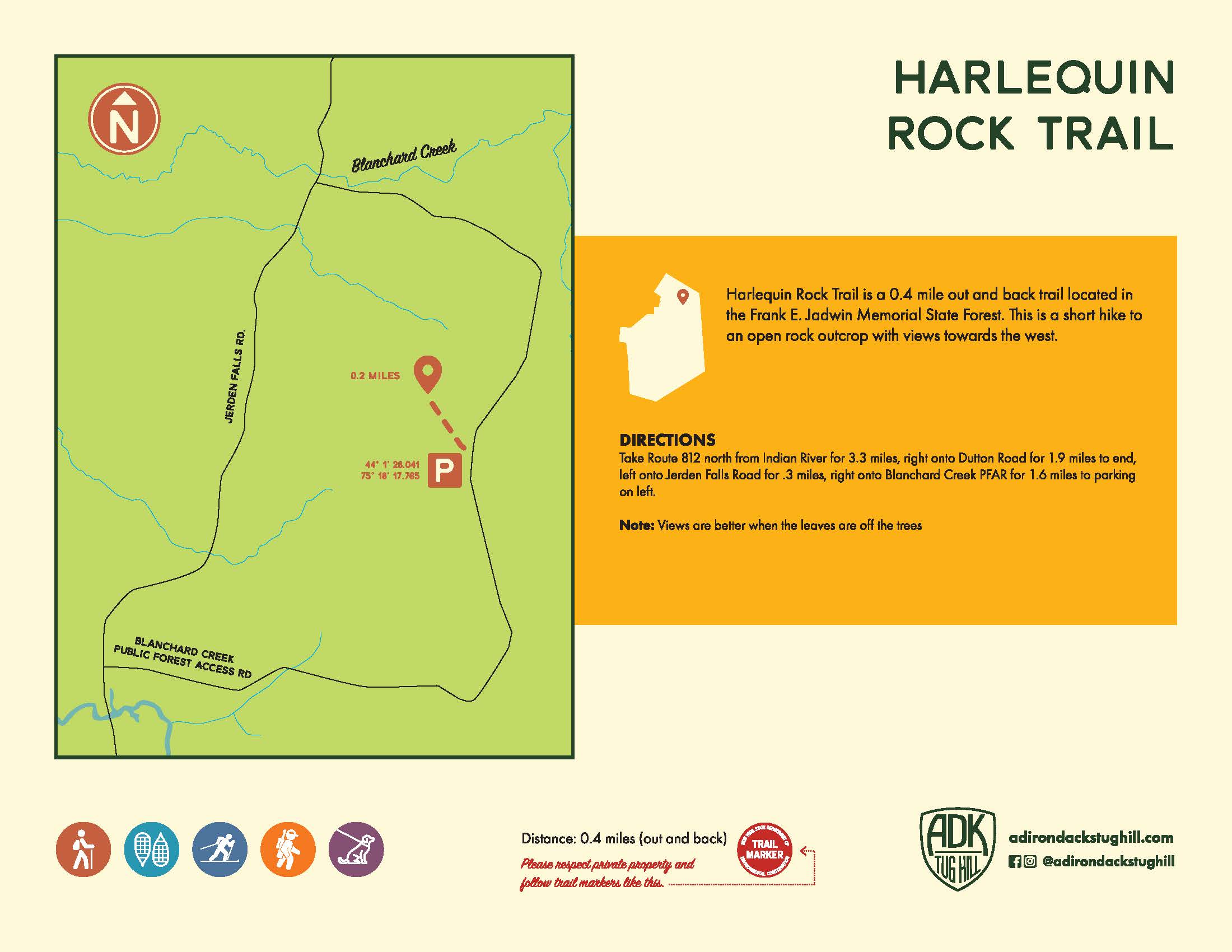
Directions: Take Route 812 north from Indian River for 3.3 miles, right onto Dutton Road for 1.9 miles to end, left onto Jerden Falls Road for 0.3 miles, right onto Blanchard Creek PFAR for 1.6 miles to parking on left.
Harlequin Rock Trail is a 0.4 mile out and back trail located in the Frank E. Jadwin Memorial State Forest. This is a short hike to an open rock outcrop with views toward the west.
Note: Views are better when the leaves are off the trees
Inman Glide Trail
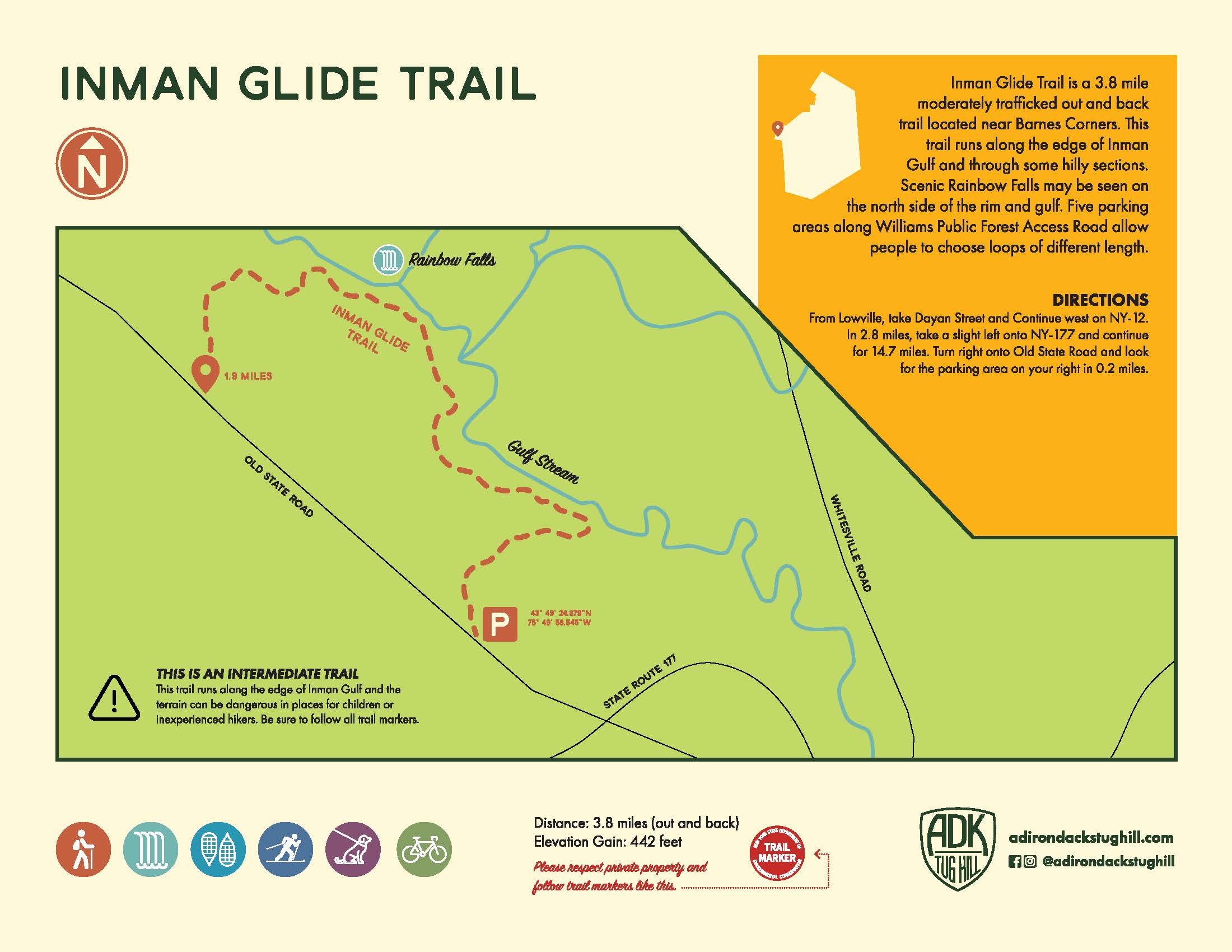
Directions: From Lowville, take Dayan Street and continue west on NY-12. In 2.8 miles, take a slight left onto NY-177 and continue for 14.7 miles. Turn right onto Old State Road and look for the parking area on your right in 0.2 miles.
Inman Glide Trail is a 3.8 mile moderately trafficked out and back trail located near Barnes Corners. This trail runs along the edge of Inman Gulf and through some hilly sections. Scenic Rainbow Falls may be seen on the north side of the rim and gulf. Five parking areas along Williams Public Forest Access Road allow people to choose loops of different length.
Jakes Pond Trail
This is an 8.4 mile out and back trail near Croghan, NY. Generally considered a moderately challenging route, it takes an average of 2 hours and 50 minutes to complete. This trail is great for hiking and snowshoeing, and it’s unlikely you’ll encounter many other people while exploring. The best times to visit this trail are December through February. Dogs are welcome and may be off-leash in some areas.
Directions: From the intersection of Hwy 812 and Old State Road, in Croghan, get on Old State Road and drive southeast for 5 miles. Turn left onto Long Pond Road and drive for 8 miles. You will come directly to the parking area and the trail and register will be on your right.
John Young Trail
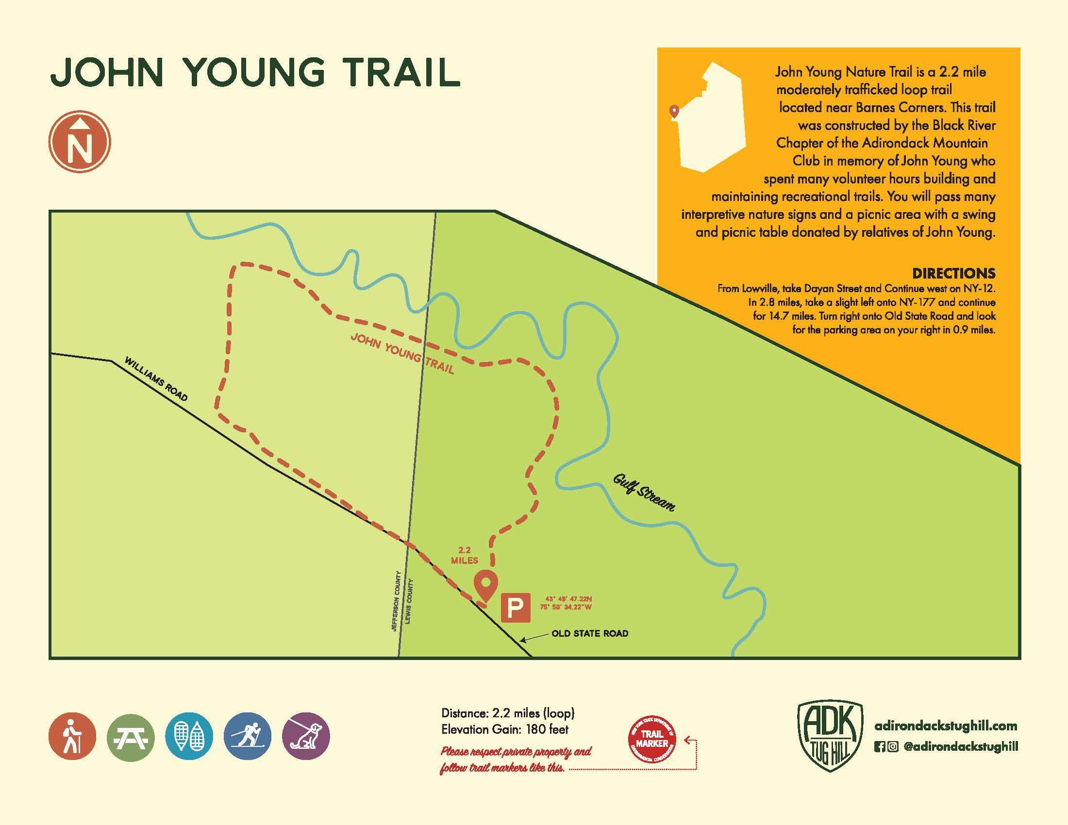
This is an 8.4 mile out and back trail near Croghan, NY. Generally considered a moderately challenging route, it takes an average of 2 hours and 50 minutes to complete. This trail is great for hiking and snowshoeing, and it’s unlikely you’ll encounter many other people while exploring. The best times to visit this trail are December through February. Dogs are welcome and may be off-leash in some areas.
Little Silver Dawn Lake Trail
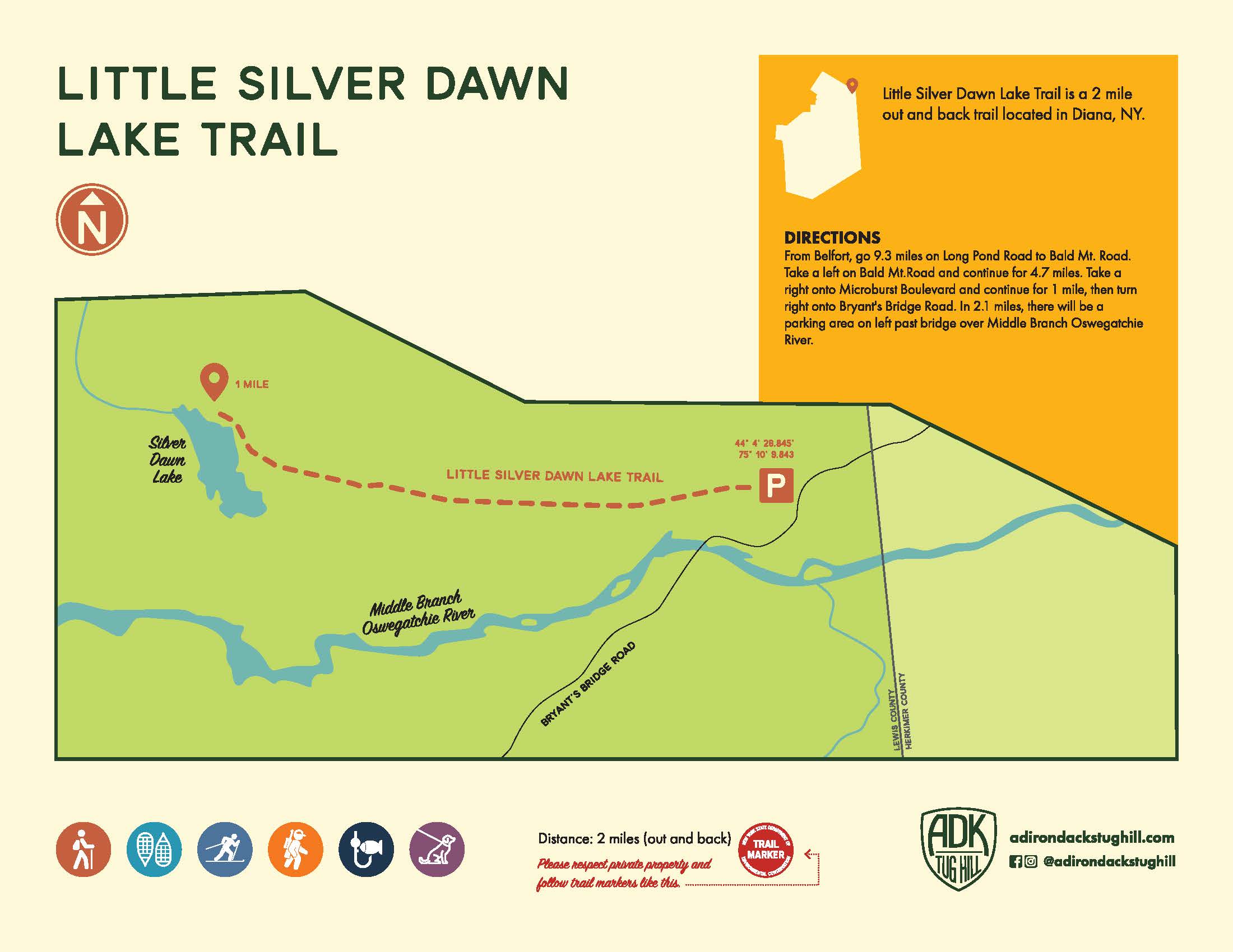
Little Silver Dawn Lake Trail is a 2 mile out and back trail located near Diana, NY.
Directions: From Belfort, go 9.3 miles on Long Pond Road to Bald Mt. Road and continue for 4.7 miles. Take a right onto Microburst Boulevard and continue for 1 mile, then turn right onto Bryant’s Bridge Road. In 2.1 miles, there will be a parking area on the left past the bridge over Middle Branch Oswegatchie River.
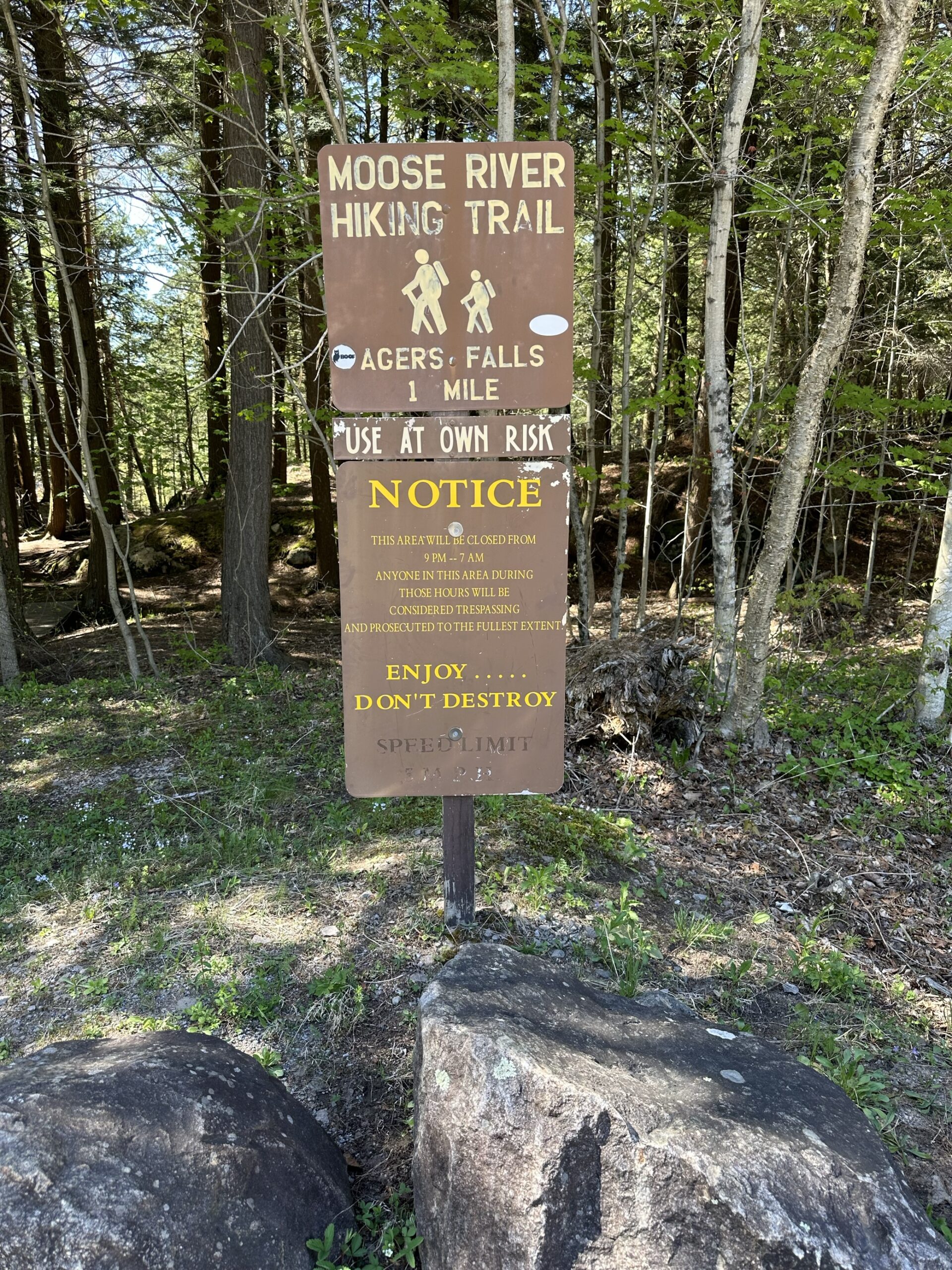
Moose River Hiking Trail
The Moose River Trail is a pleasant walk along the river that starts at a parking area west of the Agers Falls Recreational & Historical Area along Lyonsdale Road and ends at the main parking area at the falls. The trail is marked and even if it wasn’t, it’s pretty easy to follow the trail for the most part.
Directions: From Lyons Falls, take County Route 39 across the Black River. Veer left onto Lyonsdale Road (still County Route 39) and drive about two miles to the entrance on the left. The GPS coordinates are N43 37.160 W75 18.826 of the entrance for those who have a GPS devise. The parking area for the Moose River Trail is prior to arriving to the main entrance and is well signed. The GPS coordinates for the Moose River Trail parking area is N43 36.940 W75 19.452 for those who have a GPS devise.
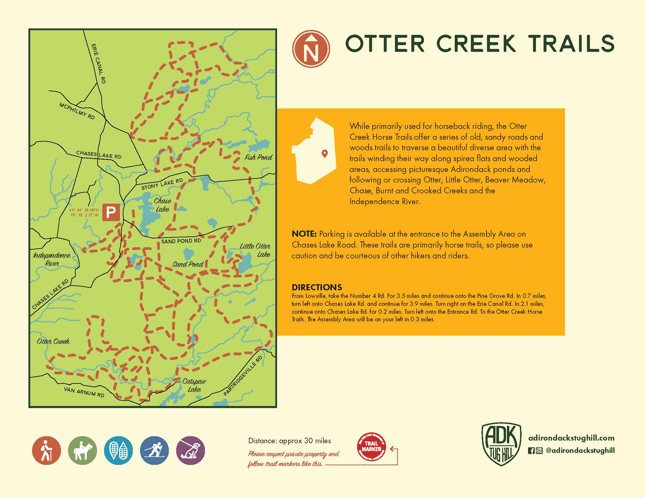
Otter Creek Horse Trails
Primarily used for horseback riding, the Otter Creek Horse Trails offer a series of old, sandy roads and wooded trails to traverse a beautiful, diverse area with the trails winding their way along spirea flats and wooded areas. You can access picturesque Adirondack ponds and following or crossing Otter, Little Otter, Beaver Meadow, Chase, Burnt and Crooked Creeks, and the Independence River.
Note: Parking is available at the entrance to the Assembly Area on Chases Lake Road. These trails are primarily horse trails, so please use caution and be courteous of other hikers and riders.
Directions: From Lowville, take the Number 4 Rd. for 3.5 miles and continue onto the Pine Grove Rd. In 0.7 miles, turn left onto Chases Lake Rd. and continue for 3.9 miles. Turn right on the Erie Canal Rd. In 2.1 miles, continue onto Chases Lake Rd. for 0.2 miles. Turn left onto Entrance Rd. to the Otter Creek Horse Trails. The Assembly Area will be on your left in 0.3 miles.
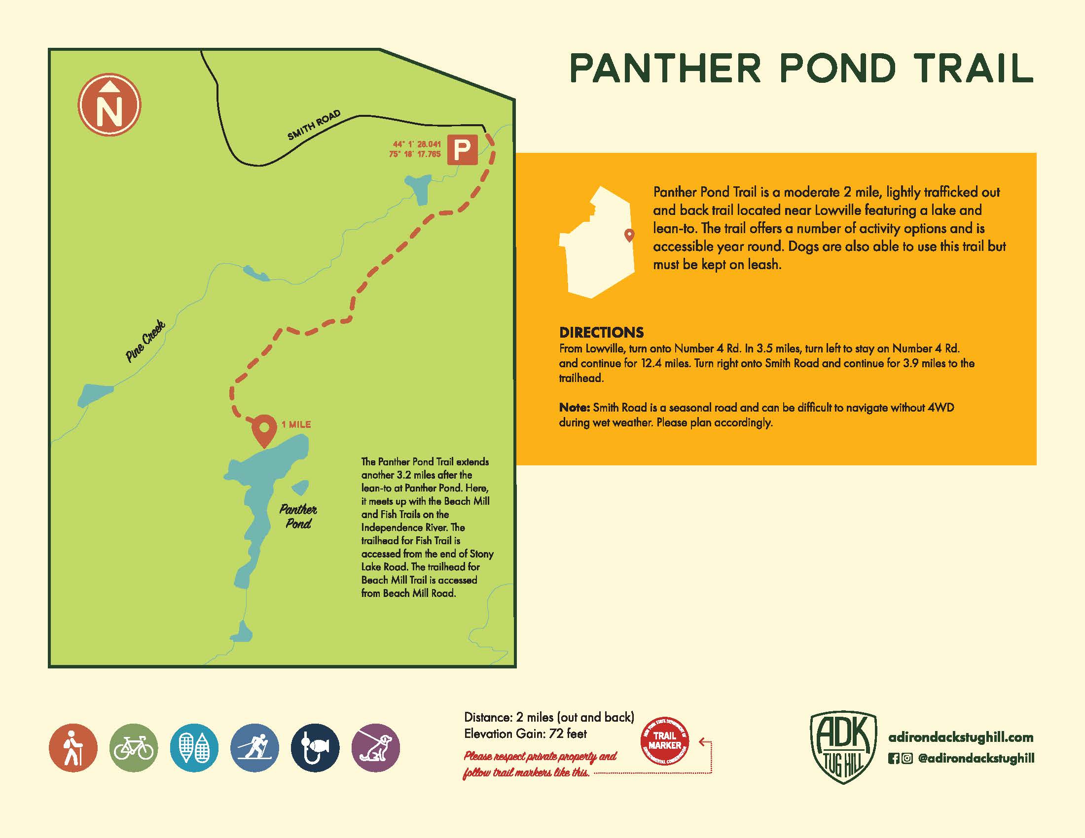
Panther Pond Trail
The Panther Pond Trail is a moderate 2 mile, lightly trafficked out and back trail located near Lowville featuring a lake and lean-to. The trail offers a number of activity options and is accessible year round. Dogs are also able to use this trail but must be kept on a leash.
Note: Smith Road is a minimal maintenance road, so plan accordingly.
Directions: From Lowville, turn onto Number 4 Rd. In 3.5 miles, turn left to stay on Number 4 Rd. and continue for 12.4 miles. Turn right onto Smith Road and continue for 3.9 miles to the trailhead.
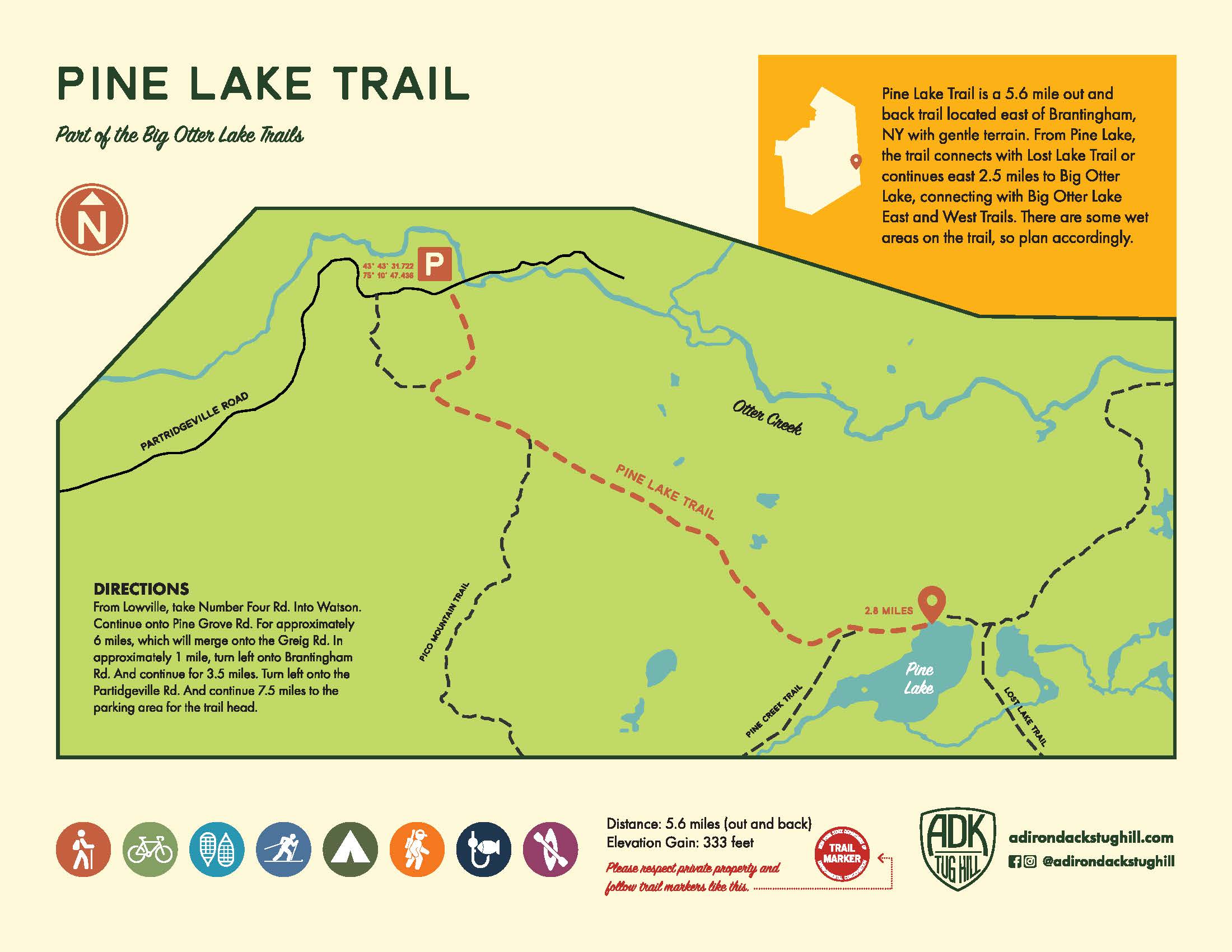
Pine Lake Trail
The Pine Lake Trail is a 5.6 mile out and back trail located east of Brantingham, NY with gentle terrain. From Pine Lake, the trail connects with Lost Lake Trail or continues east 2.5 to Big Otter Lake, connecting with Big Otter Lake East and West Trails. There are some wet areas on the trail, so plan accordingly.
Directions: From Lowville, take Number Four Rd into Watson. Continue onto Pine Grove Rd. for approximately 6 miles, which will merge onto the Greig Rd. In approximately 1 mile, turn left onto Brantingham Rd. and continue for 3.5 miles. Turn left onto the Partridgeville Rd. and continue 7.5 miles to the parking area for the trail head.
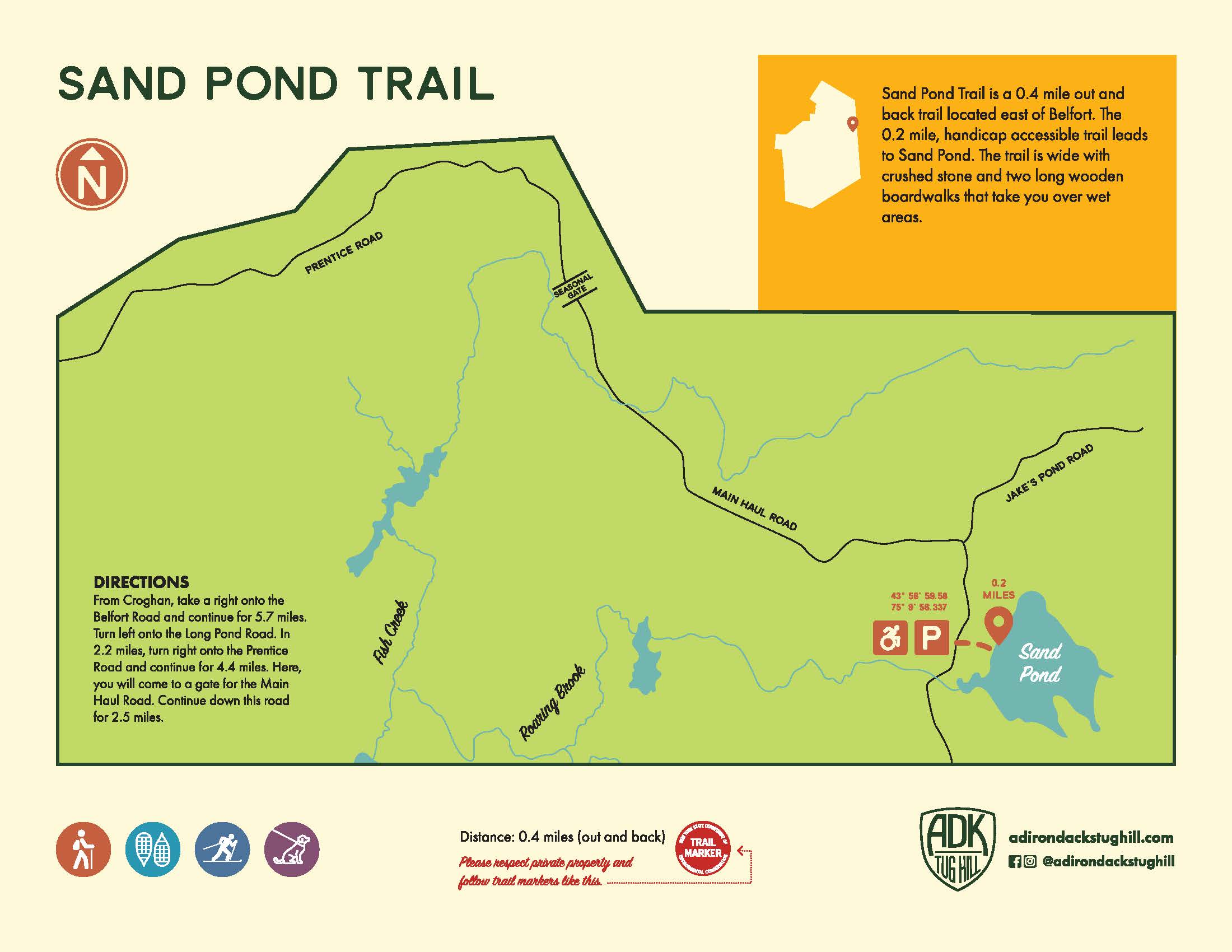
Sand Pond Trail
Sand Pond Trail is a 0.4 mile out and back trail that is located east of Belfort. The 0.2 mile, handicap accessible trail leads to Sand Pond. The trail is wide with crushed stone and two long wooden boardwalks that take you over wet areas.
Directions: From Croghan, take a right onto the Belfort Road and continue for 5.7 miles. Turn left onto the Long Pond Road. In 2.2 miles, turn right onto the Prentice Road and continue for 4.4 miles. Here, you will come to a gate for the Main Haul Road. Continue down this road for 2.5 miles.
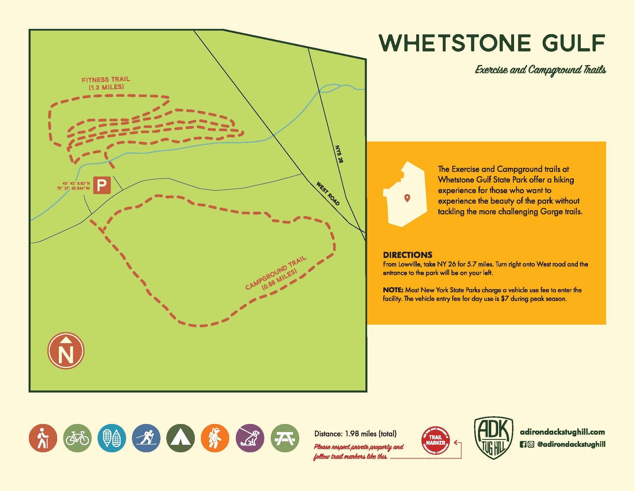
Whetstone Gulf Exercise and Campground Trails
The Exercise and Campground trails at Whetstone Gulf State Park offer a hiking experience for those who want to experience the beauty of the park without tackling the more challenging gorge trails.
Note: Most New York State Parks charge a vehicle use fee to enter the facility. The vehicle entry fee for day use is $7 during peak season.
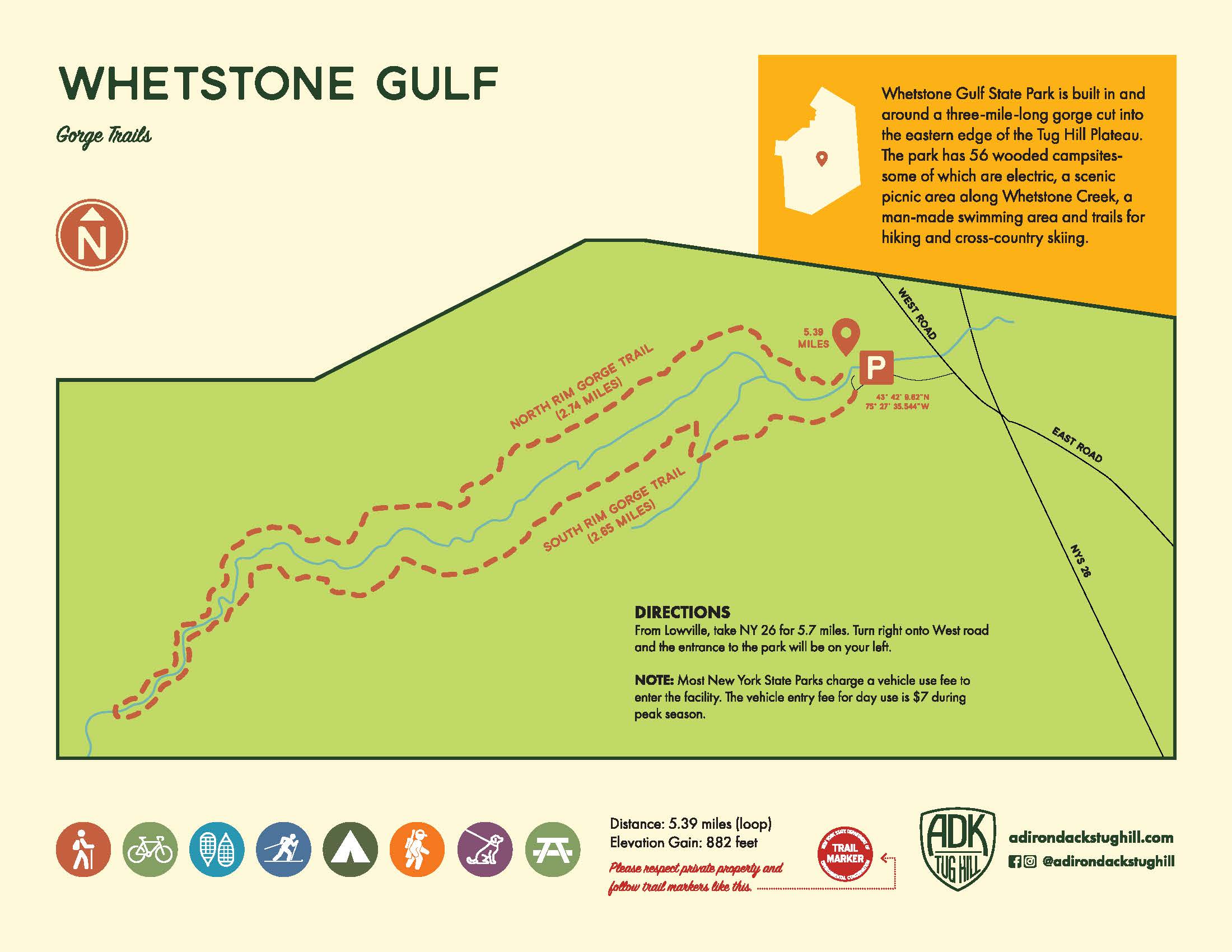
Whetstone Gulf Gorge Trails
Whetstone Gulf State Park is built in and around a three mile long gorge cut into the eastern edge of the Tug Hill Plateau. The park has 56 wooded campsites-some of which are electric, a scenic picnic area along Whetstone Creek, a man-made swimming area and trails for hiking and cross country skiing.
Note: Most New York State Parks charge a vehicle use fee to enter the facility. The vehicle entry fee for day use is $7 during peak season.
Directions: From Lowville, take NY-26 for 5.7 miles. Turn right onto West Road and the entrance to the park will be on your left.